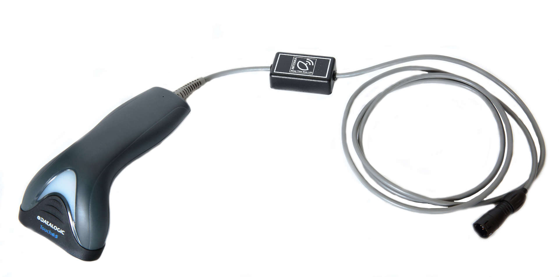
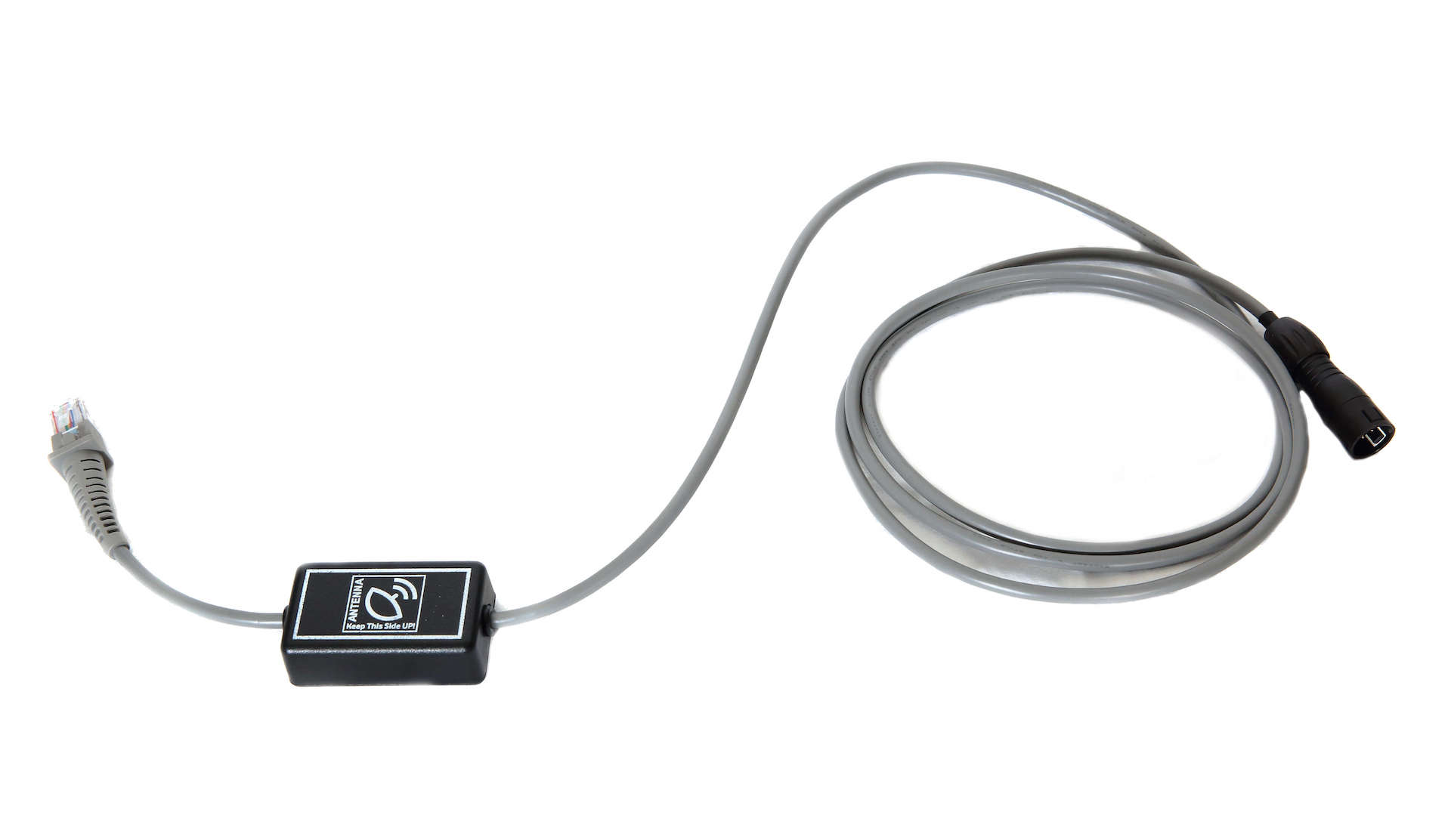
IPlast GPS is an optional instrument for IPlast 30 – 60 – 105 for welding point geolocalisation detection and storing on the control unit. It is implemented on the scanner cable and is located near it to facilitate the localisation of points of interest.
Functionality
The GPS module is inserted in the IPlast welder and saves welding position geographical data in the control unit memory. Geolocalisation data is returned in the report along with all other welding information.
GPS advantages
In case of maintenance or repair of a pipe, the GPS system allows to intervene directly where the welding was carried out.
Save time
The GPS module is inserted in the IPlast welder and saves welding position geographical data in the control unit memory. Geolocalisation data is returned in the report along with all other welding information.
How the IPlast GPS works
The procedure is simple and guided by the display: first, the coordinates are detected and then welding with the same instrument (IPlast) is started.
When IPlast is running and the GPS is activated, the control unit will ask to place the GPS in a horizontal position on the point to be detected. If satellite visibility is sufficient to capture a coherent point, the position is acquired in about 40 seconds. Simply press OK and the information will be transferred and memorised on the control unit before welding is performed.
Specifications
Technology: GPS/GLONASS Patch Antenna.
Navigation update frequency up to 10 Hz.
Horizontal position precision: GPS up to 2.5 m, SBAS up to 2.0 m